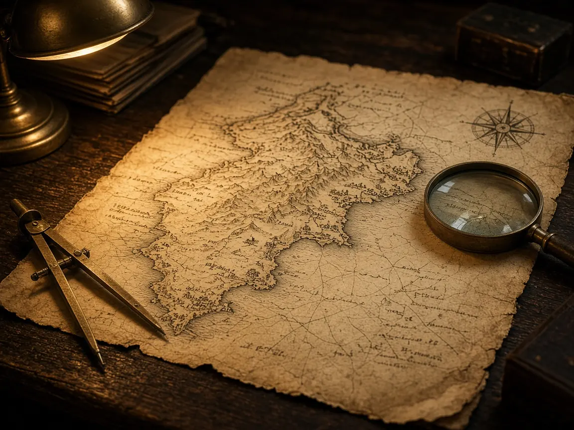
A hand-colored map in a frame looks authoritative. Coastlines curve with confidence; blank interiors invite you to project modern highways onto empty parchment. That confidence was often marketing—proof that a prince owned something, or that a trading company knew routes rivals did not.
Maps are snapshots of purpose. Military charts emphasize forts and passes. Tax maps slice fields oddly. Tourism posters shrink deserts. Ask what job the map was hired to do before you measure miles with a ruler.
Common traps for modern readers
| What you see | What may be going on |
|---|---|
| Straight borders inland | Treaty lines drawn far from terrain |
| Empty center of a continent | Unknown to maker, not empty of people |
| Enlarged home country | Projection or pride, sometimes both |
| Old place names | Spellings before standardization |
| Sea monsters in margins | Decoration, not literal zoology |
Projection math distorts area and shape. Comparing an eighteenth-century chart to a satellite image without adjusting projection creates fake errors you then “explain” with drama.
Native territories rarely appear with names communities used. Absence on paper is not absence on land; it can be erasure by design.
Revision dates matter. One sheet may patch a war outcome while rivers stay wrong for decades because nobody resurveyed.
Use maps alongside texts and archaeology. A trail marked once may be a footpath, a seasonal route, or wishful thinking from a clerk who never walked it.
Digital overlays help when labeled as reinterpretation. Slapping old lines on modern basemaps without citation creates new myths faster than it debunks old ones.
Enjoy maps as human artifacts—beautiful, partial, political. They tell you how power wanted the world seen, which is a different lesson from how the world actually worked on a rainy Tuesday.