
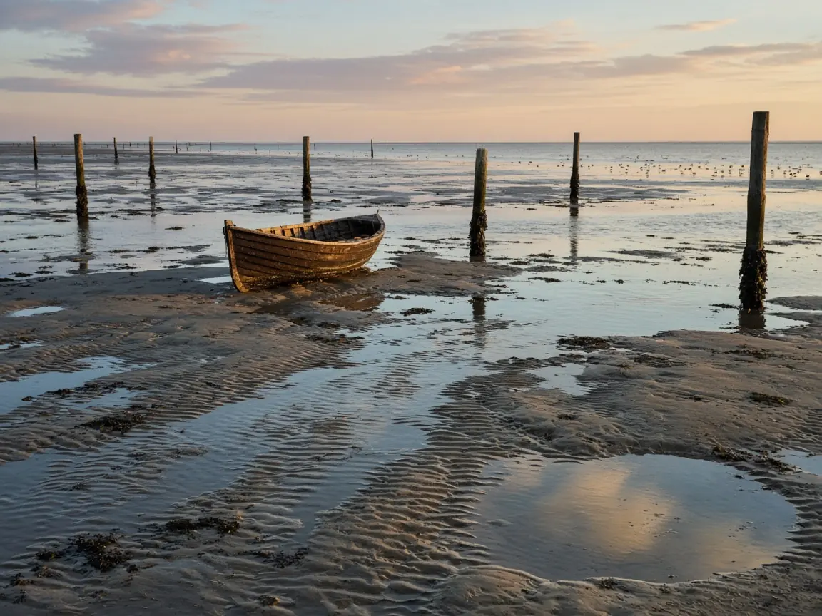
Every year somebody drives a car onto a beach, goes for a walk, and comes back to find the vehicle surrounded by water. The stories get shared as stupidity, but the more honest reading is that tides are harder to predict by eye than people think. The sea doesn't rise like a bath. It moves in rhythms that depend on the moon, the sun and the shape of the coast.
The basic idea is gravity. The moon pulls on the Earth and on its oceans, and the pull is slightly stronger on the side facing it than on the side away from it. The difference stretches the water into a shape with two bulges, one toward the moon and one on the opposite side.
As the planet rotates beneath those bulges, a given coast passes through both, which is why many places have two high tides and two low tides each day. The cycle isn't exactly 24 hours. Because the moon is also moving around its orbit, the gap between successive high tides is about 12 hours and 25 minutes, so tide times shift later each day by roughly 50 minutes.
The sun joins in
The sun also pulls on the oceans, though with about half the effect of the moon, because it's so much farther away. When the sun, Earth and moon line up, at new moon and full moon, their effects add together and we get spring tides, with higher highs and lower lows. The name has nothing to do with the season.
When the moon is at a right angle to the sun, around the quarter phases, their pulls partly cancel, and the tides are smaller. These are neap tides. A beach walker who knows the moon phase already knows roughly how dramatic the tide will be.
Why the moon isn't overhead at high tide
This is the part that surprises people. The highest water often arrives hours after the moon has passed overhead. Oceans are not a smooth, global surface. They are basins with land in the way, and water takes time to move and slosh through them. Each ocean basin has its own natural rhythm, and the tide in a given place is partly a response to that.
That's also why predictions are made from local records. Tide tables don't compute from astronomy alone. They use years of measured heights at a specific harbour to calibrate the pattern for that location.
The strange ones
Not everywhere has two tides a day. Some places, such as parts of the Gulf of Mexico, have just one high and one low. Others have a mix, with two unequal highs. The local shape of the sea floor and coastline decides which pattern appears.
The Bay of Fundy in eastern Canada is the famous extreme. Its funnel shape and its size happen to match the natural period of the tide, so the water builds up, and the difference between low and high can be around 15 metres. Boats rest on the mud at low tide and float high above it a few hours later.
The Mediterranean, by contrast, has small tides, mostly because it's almost enclosed and cut off from the larger ocean.
| Phase | Alignment | Tide size |
|---|---|---|
| New moon | Sun, moon, Earth roughly in line | Spring tide, larger range |
| First quarter | Moon at right angle to the sun | Neap tide, smaller range |
| Full moon | Earth between sun and moon, in line | Spring tide, larger range |
| Third quarter | Moon at right angle again | Neap tide, smaller range |
Sailors use a rough shortcut called the rule of twelfths. Over the six hours between low and high water, the tide rises about one twelfth of its range in the first hour, two twelfths in the second, three in the third and fourth, then two and one. In other words, the water moves fastest in the middle of the cycle, which is exactly when people on a flat beach stop paying attention.
If you walk on tidal flats or visit a rocky coast, check a local tide table, not a general rule. Know the time of high water, the direction it comes from, and where you can get off the sand. Water comes in faster across flat sand than you'd expect, and it often cuts off the way back before it reaches your feet.